
Town of Newburgh Address Record Sources
The strongest prior-resident trail joins sources by era rather than relying on a single name search. A recorded deed helps connect one owner to another. A directory or census can add a household clue, and maps, assessment photographs, newspapers, or municipal files can put the property in context. Each source has a different date range and access route. The table is a practical starting point for an address that may have changed street number, postal label, or municipal association over time.
| Source | Years or era | Where held | Value for a past address |
|---|---|---|---|
| Orange County deeds | County earliest days; web cutoff not published | County Clerk, SearchIQS, record room, OCGS | Conveyances, parties, and legal descriptions, not an occupant list |
| OCGS deed and mortgage indexes | Deeds 1703 to 1891; mortgages 1703 to 1869 | OCGS Research Room in Goshen | Earlier land and financing trail when the online session ends |
| Newburgh directories | 1856/57 to 1948, with gaps | NYSL, library, Historical Society, and OCGS | Name, address, and household clues, with City and Town caution |
| Federal census | Public through 1950 | NARA and library research databases | Historical household and relationship context |
| New York state census | 1825 to 1875; 1892, 1905, 1915, 1925 where surviving | Archives, Historical Society, and OCGS | Intervals between federal census observations |
| Sanborn and atlas maps | 1875, 1903, and Newburgh 1913 map material | County resources and Library of Congress | Street, building, and parcel context |
| Assessment photographs and municipal records | 1916 photos; municipal collection 1782 to 1915 | NY Heritage collections | Property appearance and subject-based historical context |
For an address with recent ownership, begin with a parcel and deed. For an older household question, add the directory and census records nearest the deed date. Where an address cannot be matched exactly, move to the legal description, map, road aliases, and adjacent landmarks before deciding it is a different place.
Freeze Town of Newburgh Address Records
Before working backward, freeze the address as a dated research object. Record the current street number and road name, Town of Newburgh municipality, ZIP, tax-map or parcel ID, legal description, map point, and adjacent roads. A parcel can span a road or use a shared driveway, so a street line by itself may be too weak. Keep the situs address, or physical parcel location, separate from a mailing address shown for an owner.
The Orange County parcel-information page lists owner, address, tax map number, and municipality search modes, while the GIS viewer can link the address to a polygon and parcel ID. The current owner is a starting point, not proof that the same person lives on the property. A mailing address can be outside the Town, and a tax roll does not list every household member.
This first record also protects against a common Newburgh problem. The Village separated in 1800 and the City was incorporated in 1865. Old material may say only “Newburgh,” so the research notes need a municipality, county, source type, and date for each reference.
Town of Newburgh Deeds by Address
Use the current parcel owner to begin the Orange County deed chain. The index supplies the transfer sequence, but the parcel language needs to be compared at every step when street names, numbers, or postal labels do not match.
- Find the parcel and current owner through county property or GIS records, then preserve the tax-map identity and legal description.
- Use the owner as grantee in Orange County SearchIQS to locate the purchase instrument.
- Record the named grantor, grantee, recording date, document or book-and-page reference, and the legal-description wording.
- Search that seller as grantee in an earlier transaction, compare the parcel references, and repeat the sequence backward.
- Keep recording date distinct from execution or transaction date, and do not assume a conveyance proves a person occupied the address.
- Grantor and grantee
- The grantor transfers an interest; the grantee receives it.
- Chain of title
- The ordered sequence of recorded transfers connected to one parcel or legal description.
- Legal description
- The title language for the land, often more stable than a street number or postal label.
SearchIQS requires account access or a subscription for the full land-record experience. The public landing page did not show the full search fields, image controls, or the online start year, so those are not safe to guess. The Orange County Clerk online-records page supplies the official route when a Clerk inquiry or record-room visit is needed.
Note: A deed chain follows land transfers, while previous-resident research needs separate household evidence for each date.
Town of Newburgh Land Records Beyond SearchIQS
The online cutoff for Orange County land records was not stated on the public SearchIQS or county pages. That unknown is significant for a long house history. When a grantee-to-grantor search reaches the end of what can be found online, move to the County Clerk Record Room in Goshen rather than assuming the deed sequence began there. Older books, maps, releases, and related records may require counter research or staff assistance.
The Orange County Genealogical Society Research Room is an important second route. Its holdings include the 1703 to 1891 deed index, 1703 to 1869 mortgage index, incomplete Newburgh directories from 1899 to 1956, census materials, maps, probate index, and local newspapers. It is a physical research room with copy and reader equipment, not an online-subscription service.
FamilySearch New York land records can be a supplementary courthouse collection where the needed image is actually available, but an account listing does not establish that a particular book or page is present. Compare any digital image to the Clerk's instrument reference and retain the legal-description transition in the notes.
Town of Newburgh Household Records
Directories and census records supply the household layer that a deed cannot. The New York State Library lists discontinuous Newburgh directory runs from 1856/57 through 1948. The Historical Society reports a major search change: directories before 1918 are alphabetical by surname and lack an address cross-index; from 1918 onward, both address and surname searches are described. That makes an address-first approach reasonable only for the later era.
Pair each available directory year with the nearest federal census, public through 1950, and with New York state schedules where they survive. State schedule years include 1825 to 1875, then 1892, 1905, 1915, and 1925. The 1911 State Capitol fire destroyed many state-census records, so an absent state schedule can reflect loss rather than a family's absence. Compare names, ages, relationships, and locality with the map and deed evidence before assigning a census household to a parcel.
Newburgh Free Library, OCGS, the Historical Society, and the State Library hold different parts of the historical shelf. The precise collections, formats, and gaps are covered on the Town of Newburgh Directory Book page. For this backward trail, record whether the search used a surname or address index and keep an uncertain City or Town connection visible.
Town of Newburgh Address Map Evidence
Maps help bridge an address that is older than its modern street form. Orange County historic resources identify 1875 and 1903 town atlases. The Library of Congress Newburgh Sanborn collection documents a 1913 set of 69 sheets. Sanborn sheets can show street names and numbers, building footprints, construction or material notes, water mains, fire protection, and nearby structures. They show place context, not who lived inside.
Check the sheet index and geographic extent before using the 1913 material for a Town address. The collection is for Newburgh's congested district and does not guarantee coverage of every rural Town parcel. The 1875 and 1903 atlases, current GIS geometry, deed descriptions, and old route names may be the stronger bridge at an edge location.
Map evidence works best in a dated sequence: directory line, deed recording, atlas or Sanborn sheet, assessment image, census observation, and current parcel map. That chronology avoids turning one old address similarity into a claim that every source names the same property.
Town of Newburgh Past Residents Archives
The Newburgh Historical Society research guide is the assigned local house-history source image. It brings together the local routes through deeds, city directories, census materials, Sanborn maps, cemeteries, vital records, and newspapers. The Society asks that archive questions be made in writing and be specific, so a useful request identifies the street, date range, surname variants, likely municipality, and the collection sought.
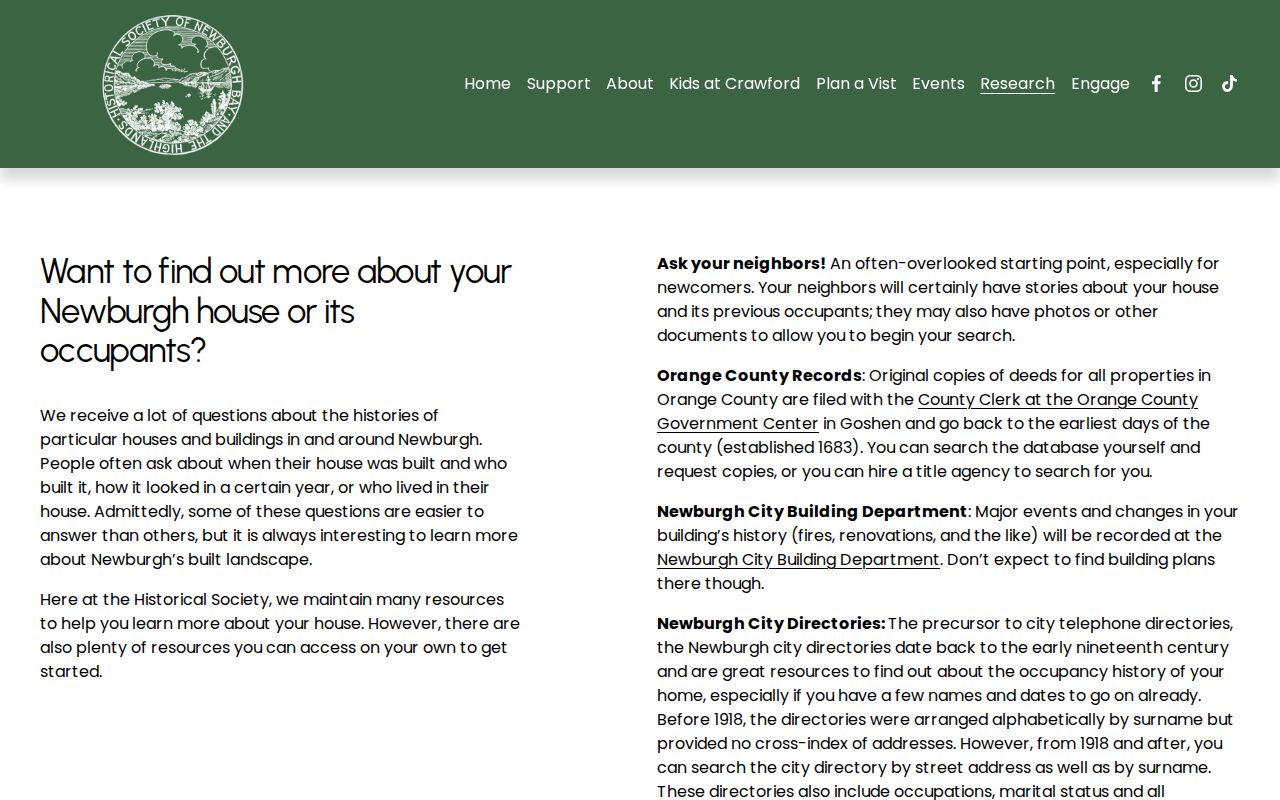
The guide reinforces the right order for a house history: land and map evidence establish the place, then directory, census, cemetery, obituary, and probate clues can be compared for people connected to it.
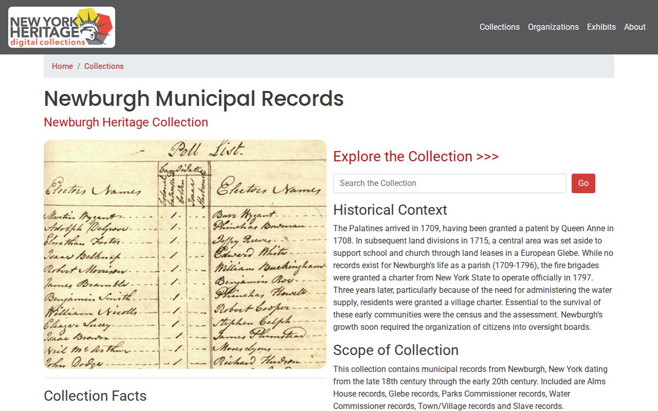
The NY Heritage Newburgh Municipal Records collection is a separate assigned source image. It spans 1782 to 1915 and is browsable by subjects that include Almshouse, Glebe, Parks Commissioner, Water Commissioner, Town and Village, and slave records. It is not a complete resident index, so search the subject and image context rather than treating a collection hit as a full household record.
Newburgh Heritage also includes 1916 assessment photographs. A photo can support a dated property identification, but it does not automatically identify every prior resident. Match the building and road to a parcel, deed, or tax-map source first.
Town of Newburgh Address Geography
The city and town boundary is more than a label. The Town of Newburgh is the remaining Town area after the Village separation in 1800 and City incorporation in 1865. Directory and archive materials can use “Newburgh” for the historic City, an urban service area, or a wider region. A successful name or address match therefore needs a municipal check before it becomes evidence for a Town property.
Postal geography adds another trap. The City and Town share ZIP 12550, while the county ZIP map also shows 12542, 12553, 12575, 12586, and 12589 in the Town-area geography. Use the parcel municipality field and GIS boundary before relying on a mailing line. For a route-number or road-name mismatch, preserve the old label, compare the legal description, and ask OCGIS or Town Code Compliance for an addressing cross-reference.
This geography also explains why a directory absence has limited meaning. A rural Town address may be better represented in a deed, census, church, cemetery, newspaper, tax-map, or county record than in a City-oriented directory volume.
Town of Newburgh Address Research Limits
Previous-resident research is a house-history and family-history activity, not a complete account of every person who entered a property. Deeds identify transaction parties. Directories have gaps and a regional boundary issue. Census geography is not always parcel exact. Maps show buildings and streets, while assessment photographs and municipal records need a separate identification step. A missing name may result from incomplete coverage, a changed surname, an address variation, or a record lost before digitization.
Use the least identifying detail needed for a lawful personal question. Do not attempt to use parcel, historical, or directory sources to expose a protected address or to trace a living person who does not wish to be found. New York Address Confidentiality Program protections, confidential voter records, sealed files, utility records, DMV data, and library-use information do not become public house-history material.